

USGS National Climate Change Viewer
Provided by: USGS|Published on: February 20, 2026
Grades: 9, 10, 11, 12
Type: Data, Graphs, and Maps
Subjects: Earth and Space Sciences
Authors: USGS
Region: United States
Languages: English
This resource has been reviewed by SubjectToClimate's climate scientists and verified for scientific accuracy and up-to-date information. Learn about our review process →
This resource has been reviewed by SubjectToClimate's climate scientists and verified for scientific accuracy and up-to-date information. Learn about our review process →
Synopsis
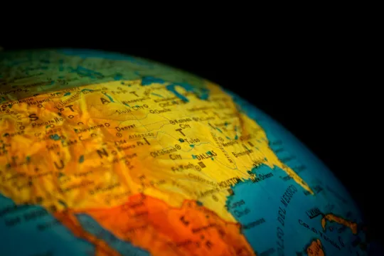
- This interactive map of the United States from USGS allows users to explore how climate change will impact factors such as precipitation, soil storage, and temperature in the future.
- Students will be able to compare the future projections with data from 1981-2010 and look at different warming scenarios for states and counties.
Teaching Materials
Positives
- This resource provides a wealth of information, allowing students to explore various scenarios and conditions.
- The interface is fairly user-friendly, so students can manipulate the data themselves.
Prerequisites
- It may help students if the teacher sets expectations for exploring this resource to avoid overwhelm.
- Teachers may want to explain and define certain terms, depending on students' expected path with this resource. For example, students may need background knowledge on the different degrees of warming. This article can help explain the concept to students.
Differentiation & Implementation
- Students can each research a different region of the United States for 3 or 4 different metrics, such as changes in precipitation, maximum temperature, and minimum temperature, for each warming scenario. Then, students can hypothesize how these changes will impact their region. Then, students can compare their region to other students' in the class.
- Students working with Google Sheets or Excel can download the data and put it into spreadsheets to create their own visualization or use it in other ways.
- Teachers can pair this resource with this interactive map, so students can see how these changes will impact the environment and daily life in these regions.
This resource features an interactive map that allows students to visualize model projections for changes in climate and water balance in the United States. The tool allows students to see climate variability across geography or season, and climate models can also be compared. This resource is well-sourced, with several peer-reviewed articles cited, and is recommended for teaching.
Teaching Tips
Standards
Resource Type and Format
Scientist Reviewed
This resource has been reviewed by SubjectToClimate's climate scientists and verified for scientific accuracy and up-to-date information. Our review process ensures that every resource in our library reflects the current state of climate science.
Learn about our review process →